
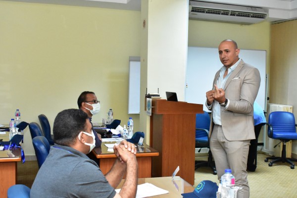
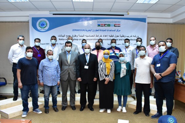
As part of its efforts to raise regional capacities, and in full cooperation and coordination with the Environmental Affairs Agency of the Arab Republic of Egypt (EEAA), PERSGA has conducted a national training workshop on preparing environmental sensitivity maps and the methods of collecting data from the field.
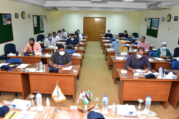
The workshop, which lasted for three days, was held from August 15 to 17, 2021 at the Marine Emergencies Mutual Aid Center (EMARSGA), about twenty national trainees attended the training workshop representing various branches of the Environmental Affairs Agency and the marine protected areas sector in Egypt.
The training in the workshop was conducted by one of the PERSGA’s experts and included field training on how to collect data from the marine environment, and on how to use the (ESI) Environmental Sensitivity Index and apply it on maps.
The development of environmental sensitivity maps and continuously updating them is considered one of the primary responsibilities of environmental experts, such maps must rely on collecting data from field surveys and then classifying and arranging it for their final processing and plotting them on maps to be ready for use by the decision-maker in all matters relating to the environment.
Usually, the main objective of preparing sensitivity maps is to sort the areas in terms of their environmental sensitivity, from the most sensitive to the lowest, and thus the coastal line is classified according to its environmental sensitivity.
Sensitivity maps are usually designed to fulfill two main objectives:
• The first is that these maps identify areas of environmental sensitivity – and it is desirable to arrange them according to protection priorities in the event of a major oil spill.
• Second, that the maps lead to the classification of the coastline according to its nature (for example, sandy beach, rocks, hills, etc.), especially since cleaning methods vary according to the type of beach to be cleaned.
Sensitivity maps can be prepared either on paper or by incorporating the data into a geographic information system (GIS).
The workshop touched on all stages of preparing environmental sensitivity maps, starting from how to collect data from the field and ending with the methodology for preparing the maps in their final form. It included practical training and a case study as an application on how to prepare environmental sensitivity maps.
Gallery


More to find

Liability and Compensation for ship-source Pollution

National Training Workshop on Economic Valuation
Technical Mission on Oil and Chemical Spill Contingency Planning and …